The Picketwire Canyonlands Dinosaur Trackways, near La Junta, Colorado.
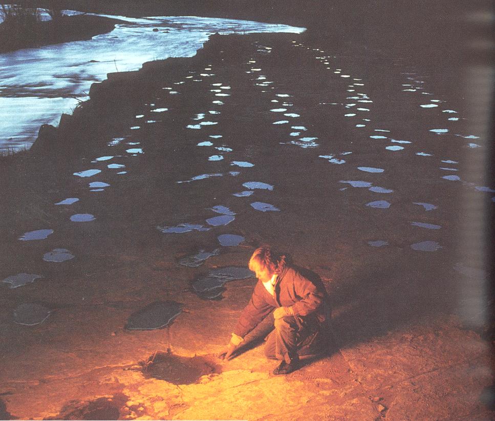
There is a very long exposure of Jurassic age footprints in the Morrison Formation, which are well exposed at sunset with water in them from a recent rain:
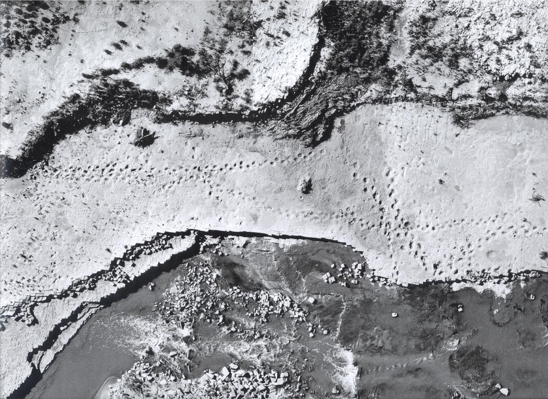
An aerial photo of them shows how extensive they are on one bed:
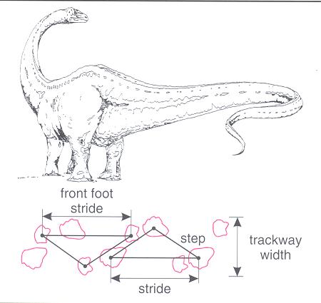
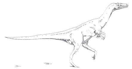
The were made by large herbivores like these:
and smaller tracks of meat eaters, which may have been stalking the big ones:
So what does this have to do with GPR? How to find the tracks when they are not exposed, and covered by as much as a meter of rock? GPR, or course! We used the 400 MHz antenna to look through the rock where it is sitting to see the tracks in the stone below, which you can see filled with water in the background of this picture:
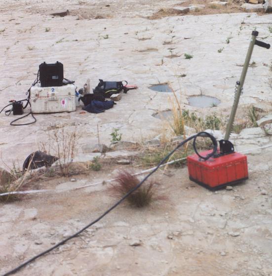
We collected data through the overburden, and sure enough, there were the tracks. Here is one profile, showing how the layer with the tracks on it was severely disturbed by the large animals walking on it when it was still wet:

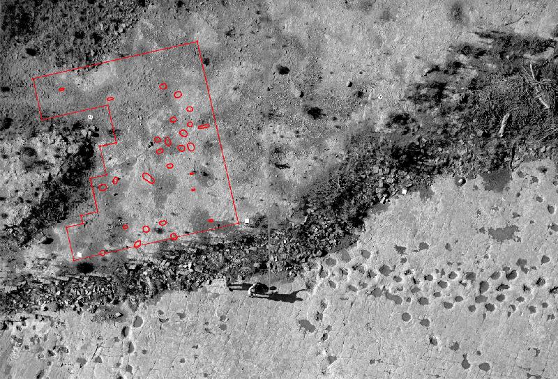
And when you map them all spatially (they are in red in the map below), the tracks are visible (if complicated!).