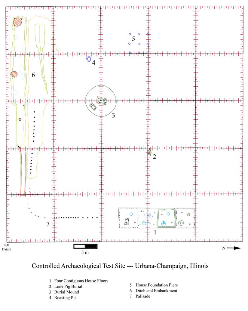
GPR Test Sites
We have been very interested recently in doing GPR at test sites, where known features in the ground have been mapped and studied. We can then use these models to try out different methods of data collection and processing, to determine what works best under different conditions. This project is being funded by SERDP, an arm of the U.S. Department of Defense, Department of Energy and the EPA. There is one site in Illinois on the campus of University of Illinois in Champaign called CATS (controlled archaeological test site), and one on the Hanford Reservation in Richland Washington called Hammer
At CATS the soils are clayey and moist, and GPR is a
challenge. Many interesting features have been buried in this area, but we have
been concentrating most on the house floors.
Those floors were modeled first spatially.![]()
And the features were modeled in two-dimensions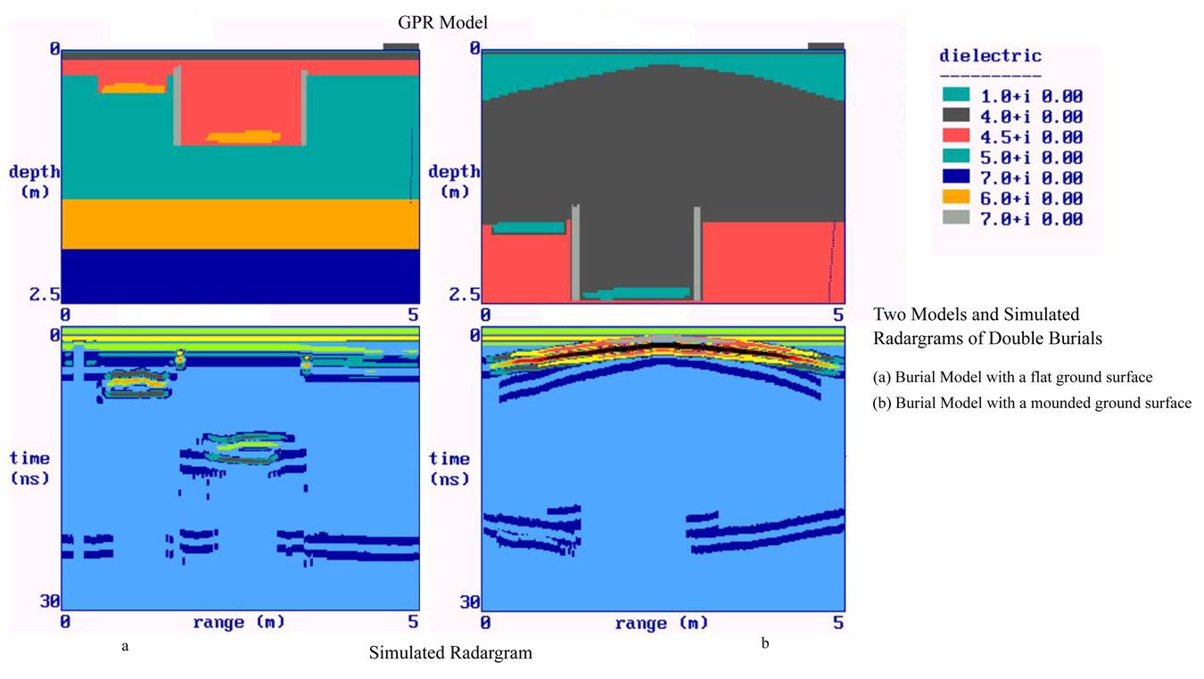
The features visible in GPR are then compared to the known
features, with good results. Here are some maps using the 400 MHz antenna.
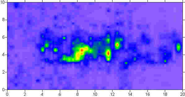
At the Hammer site other kinds of features were buried in dry
sand
And the maps using the 900 MHz antenna were also very good.![]()
We took many soil samples, and are in the process of analyzing
them in the laboratory for clay types and electrical and chemical properties, in
order to determine what is affecting radar propagation and reflection in the
ground.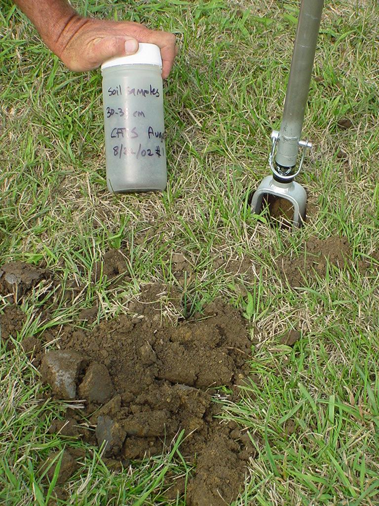
There is a huge web site on this subject. Click here to get into it.
And also a short article on some of the results, especially those regarding moisture in the ground. Click here for the pdf file of that article.