|
|

|
|
LATITUDES AND LONGITUDES.
XXI. Islands, Rocks, and Shoals in the
NORTH PACIFIC OCEAN.
from:
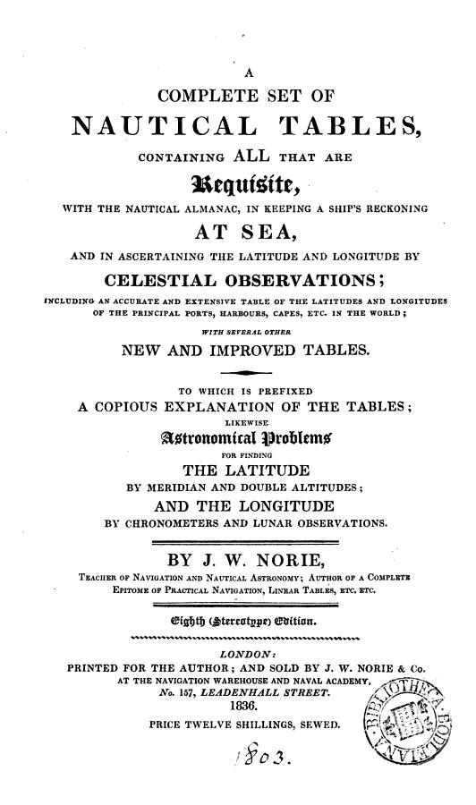
A Complete Set of Nautical Tables ...
J. W. Norie
London, 1836.
|
|
LATITUDES AND LONGITUDES.
XXI. Islands, Rocks, and Shoals in the
NORTH PACIFIC OCEAN.
| | North | East | |
| Borodino laland | 25 | 56 | 0 | 131 | 15 | 0 |
| Bishop's Rock | 25 | 20 | 0 | 131 | 15 | 0 |
| Rasa Island | 24 | 26 | 0 | 131 | 3 | 0 |
| Kendrick's Island | 24 | 35 | 0 | 134 | 20 | 0 |
| Cooper's Island | 25 | 48 | 0 | 131 | 36 | 0 |
| Copper Island | 20 | 8 | 0 | 131 | 54 | 0 |
| Abreojos Shoal | 22 | 10 | 0 | 132 | 55 | 15 |
| Abreogoes Shoal | 29 | 59 | 0 | 136 | 38 | 0 |
| Douglas' lieef | 20 | 37 | 0 | 136 | 10 | 0 |
| Bishop's Rock | 20 | 15 | 0 | 136 | 54 | 0 |
| Moore' Island | 31 | 27 | 0 | 145 | 40 | 0 |
| St. Peter's Island | 30 | 30 | 30 | 140 | 15 | 0 |
| Disappointutent I. | 27 | 15 | 0 | 139 | 45 | 0 |
| Sylph's Rock | 31 | 25 | 0 | 142 | 40 | 0 |
| Bonin Is. Port Loyd | 27 | 5 | 35 | 142 | 11 | 30 |
| Parry's Group, S. end | 27 | 37 | 30 | 142 | 11 | 0 |
| Coffin's Group | 26 | 30 | 0 | 141 | 10 | 0 |
| Sulphur Island | 24 | 48 | 0 | 141 | 13 | 0 |
| Forfana Island | 25 | 34 | 0 | 143 | 0 | 0 |
| Margaret's Island | 27 | 20 | 0 | 143 | 45 | 0 |
| Grampus' Islands | 25 | 40 | 0 | 146 | 40 | 0 |
| | | | | | | |
| Ladrone or Marian Islands | | | | | | |
| | | | | | | |
| Volcano or Guy's I. | 20 | 30 | 0 | 146 | 46 | 0 |
| Uracas Island | 20 | 10 | 0 | 145 | 32 | 0 |
| Assumption Island | 19 | 45 | 0 | 145 | 35 | 0 |
| Mang's Island | 19 | 32 | 0 | 145 | 33 | 30 |
| Grijan Island, N. Pt. | 18 | 50 | 30 | l45 | 50 | 30 |
| Pagon Island, N. Pt. | 18 | 16 | 30 | 146 | 0 | 0 |
| Alamaguan Island | 18 | 5 | 0 | 146 | 2 | 0 |
| Guguan Island, N.Pt. | 17 | 35 | 30 | 146 | 3 | 30 |
| Tores Rock | 17 | 16 | 30 | 146 | 3 | 0 |
| Seriguan Island | 16 | 40 | 0 | 146 | 0 | 0 |
| Anatajan Island | 16 | 20 | 0 | 145 | 52 | 0 |
| Medinilla Rocks | 16 | 0 | 0 | 146 | 13 | 0 |
| Saypan Island, peak | 15 | 14 | 30 | 145 | 56 | 0 |
| Tinian Island, S. Pt. | 14 | 58 | 0 | l45 | 51 | l5 |
| Agugan laland | 14 | 53 | 44 | 145 | 44 | 0 |
| Rota Island | 14 | 9 | 0 | 145 | 20 | 30 |
| Guam Island. N. Pt. | 13 | 38 | 0 | 145 | 4 | 0 |
| — Apra Fort | 13 | 25 | 50 | 144 | 51 | l5 |
| — Umatac Bay | 13 | 17 | 15 | 144 | 52 | 0 |
| — South West Point | 13 | 13 | 0 | 144 | 56 | 0 |
| Sta. Rosa Bank, mid | 12 | 24 | 0 | 144 | 24 | 0 |
| —— | | | | | |
| Manurran Island | 0 | 30 | 30 | 130 | 48 | 0 |
| Lord North's Island | 3 | 2 | 45 | 131 | 4 | 15 |
|
TRANSCRIPTION NOTES
Some tables have been reformatted for clarity in HTML presentation.
|
BIBLIOGRAPHIC DESCRIPTION
| Author: | Name |
| Title: | Title |
| Publisher: | Place, Publisher, year. |
| Description: | collation |
| Subjects: | subject headings |
|
|
